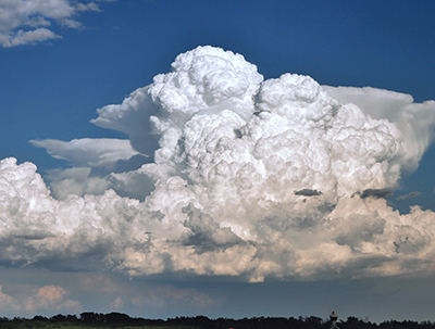
Tropical Western Pacific – International Cloud Experiment (TWP-ICE)In tropical regions, thin, wispy cirrus clouds cover very large areas and can indicate that a powerful storm is on the way. These high-altitude clouds also impact climate by reflecting incoming solar energy and absorbing infrared energy emitted by the Earth's surface and by the atmosphere. Researchers want to learn more about the composition of clouds to help improve cloud-measuring methods and weather and climate models. TWP-ICE was a cloud study held near Darwin, Australia during the wet season (November 2005 through March 2006). Researchers collected measurements of clouds, precipitation, raindrops, and other meteorological variables from the ground to the lower stratosphere using equipment such as vertically-pointing profiling radars, rain gauges, and disdrometers. Vertically-pointing radars provide information on the vertical structure of raincloud systems as they pass directly overhead. These observations are converted into estimates of the number and size of raindrops falling in the rain. This information provides insight into the microphysical processes occurring within the systems. The observations, retrieved raindrop size distributions, and images are available through the data link at right. Sponsors |
|