
Analysis & Tools
|
|
|
Information concerning the chemical, meteorological and trajectory forecasts available in support of the 2006 Texas Air Quality Study. For the duration of the field intensive, a daily Forecast Meeting is held in Houston at 11:00 AM CDT. These meetings are broadcast over the web, recorded and archived for reference. To join a meeting or view the archive, please contact TCEQ.
- EPA AirNow
- Texas Meteorological Satellite Images (MODIS, POES, GOES)
- MODIS Fire and Thermal Anomalies
- NOAA ESRL CSD Satellite Imagery and Meteorological Products
- FLEXPART model data for TEXAQS
- TAMU Forecasts
- NOAA NWS WRF-CMAQ
- NOAA ESRL GSD WRF/CHEM
- University of Iowa STEM WRF/SAPRC
- University of Houston MM5/CB-IV
- Environment Canada CHRONOS
- Baron Advanced Meteorological Systems (please contact John McHenry for username and password)
- Model Forecast Comparison
A major focus of the 2006 Texas Air Quality Study is the integration of satellite data into the study, both in near real-time for flight planning purposes and for post-campaign validation.
- NASA Satellites
- NASA Aura*
- NASA Aqua*
- NASA Terra*
- NASA CALIPSO*
- NOAA GOES-E Aerosol/Smoke Product (GASP)
- NOAA GOES-W Aerosol/Smoke Product (GASP)
- NOAA GOES Solar Insolation Product (GSIP)
- NOAA Hazard Mapping System (HMS)
- NOAA GOES - PM2.5
- MODIS / PM2.5 forecasting tool
- MODIS real-time images
- MODIS Fire and Thermal Anomalies
- NOAA N16, N17, N18
- NASA - CERES*
- NASA Langley MSIR
- NASA Langley Cloud and Radiation Research
- NASA CloudSat at CSU
- Texas Meteorological Satellite Images (MODIS, POES, GOES)
- NOAA ESRL CSD Satellite Imagery and Meteorological Products
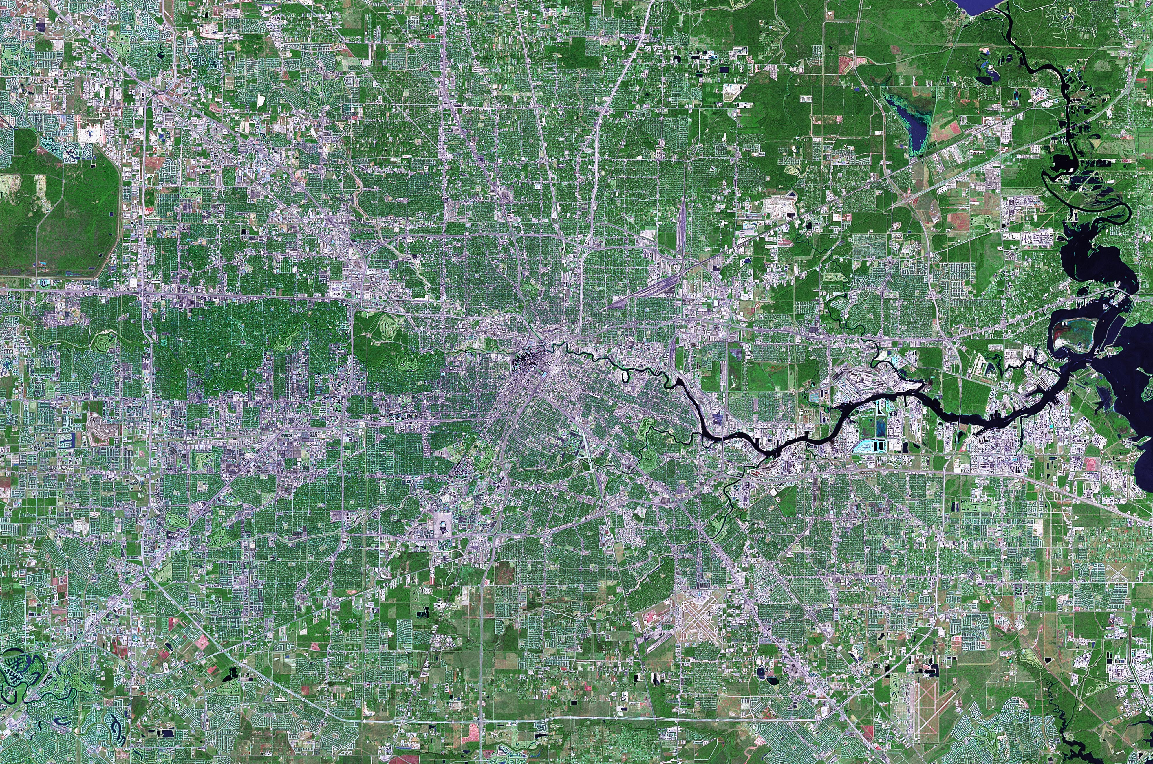
- Satellite image of Houston on a clear day (30 August 2000)
- UMBC AIRS CO/O3*