
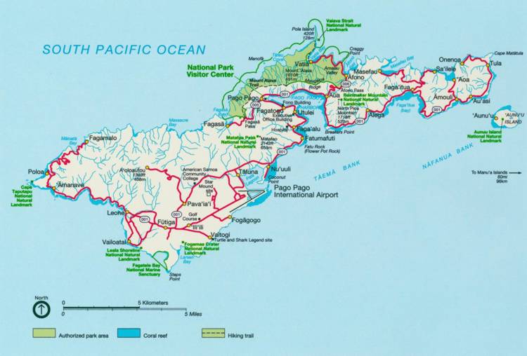
The territory of American Samoa consists of 7 islands that lie 4700 km (2600 miles) southwest of Hawaii, in the center of the Pacific Ocean and are the oldest of the Samoan Islands. The total land mass for the 7 islands is 197 sq km (76.1 sq miles) with 74% belonging to the island of Tutuila. Tutuila is roughly 30 km long and 6 km at its widest point with Pago Pago Harbor at the center of the island. This harbor is the remnants of a volcanic crater and a deep sheltered location, prime as an ocean vessel port. The majority of the population resides on this island. The NOAA ESRL/GMD Observatory lies at the northeast tip of the island, on Cape Matatula, just past the village of Tula. The drive from the airport to the observatory is roughly 24 miles, passing the major shopping areas, the port, the center of government, the open market, and numerous villages nestled along the main road, AS001.
Just off Tutuila is the island of Aunu’u. Small enough to walk around in roughly three hours and accessible by small boats from Auasi village. It is 4 km away from the observatory and visible in all but the worst of weather.
The Manu’a group is made up of three islands. The islands of Ofu and Olosenga, connected by a bridge, and Ta'u known for it’s shear rugged cliffs. These islands are east of the observatory and visible at roughly 90 km away on very clear days. Ofu has claim to a portion of the National Park of American Samoa. This section of park consists of a beautiful sand/shell hash beach and 140 hectares of offshore waters. The coral and reef fish number 300 species of identified fish and 150 species of coral found. Ta’u has claims to the highest point in American Samoa, Mt. Lata, the classic anthropological work “Coming of Age in Samoa” by Margaret Mead, as well as 2160 hectares of National Park lands and 400 hectares of waters separated by some of the tallest sea cliffs in the world.
Rose Atoll and privately owned Swain’s Island are the remaining two islands, both coral atolls.