Researchers ride atmospheric river to help improve forecasts
El Niño-driven atmospheric river brings much needed rain to the American west coast
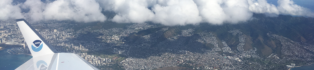
NOAA's G-IV aircraft made 22 research flights over the Pacific to gather weather data on El Niño with the goal of improving forecasts. (Credit: Kelly Mahoney, NOAA)
Adapted from a NOAA OAR News Release
NOAA researchers in the air over the Pacific are giving weather forecasters the most detailed look ever at an atmospheric river as it drenches the west coast of the United States with badly needed precipitation.
On Thursday, researchers in NOAA's G-IV jet covered more than 3,500 miles from Honolulu to Ontario, California, dropping 42 small tubes packed with weather instruments as it crisscrossed the dense stream of water vapor that they have been tracking from the central Pacific. A second NASA research plane captured more data just as the plume was making landfall.
"This is huge," said Rob Cifelli, a meteorologist at the NOAA/ESRL Physical Sciences Division. "We've never been able to follow an atmospheric river from inception in the tropics to landfall before. It's also the first time we've been able to provide real-time data from an atmospheric river to help local National Weather Service offices better interpret precipitation forecasts."
Atmospheric rivers are long, narrow atmospheric currents that can carry extraordinary volumes of water vapor thousands of miles, depositing them in highly localized areas. While atmospheric rivers can cause serious flooding, they're also a critical water supply for the U.S. west coast. On average, between 30 and 50 percent of annual precipitation in the west coast states occurs in just a few of these events.
This week, a series of storms has pounded northern and central California from the Sierra to the coast.
Thursday was the wrap-up flight for NOAA's El Niño Rapid Response field campaign, which has provided researchers an unprecedented look at the heart of a strong El Niño in the remote Pacific since late January. All told, the G-IV, NASA's Global Hawk unmanned aircraft and the research ship the Ronald H. Brown covered well over 115,000 miles, launching more than 700 instrument packages into the atmosphere to study El Niño-spawned weather from its inception over the warm ocean to landfall in the U.S. thousands of miles away.
Researchers on Kiritimati (Christmas) Island will continue to launch weather balloons twice a day through March.
NOAA researchers anticipate that when analyzed, the vast amount of data gathered by weather balloons and small instrument-laden tubes dropped from aircraft during the research mission will improve the models that are used to support weather forecasts. The data will also provide insights that researchers hope will improve year-to-year El Niño-Southern Oscillation forecasts, as well as the accuracy of models predicting longer-term effects of climate change.
Posted: March 11, 2016