
Twin Otter Platform Info
An important component of the 2006 experiment will be a differential absorption lidar (DIAL) deployed on a NOAA Twin Otter aircraft for remote sensing of local and regional ozone and aerosol distribution. Previous field studies have benefitted greatly from airborne measurements of ozone and aerosol profiles to characterize the threedimensional structure of pollution plumes and measure variability in mixing layer height (Alvarez et al, 1998, Senff et al, 1998, Banta et al, 1998, Banta et al, 2005). Airborne remote sensing enables tracking of plumes from urban areas and point sources, identification of isolated regions and layers of high ozone concentration, observations of atmospheric layering as characterized by aerosol structure, and investigation of local meteorological effects such as sea breezes and urban heat islands on pollution transport and mixing.
Inclusion of a remote sensing aircraft will also provide information on the three-dimensional representativeness of in situ observations made on the WP-3D and other aircraft during those periods when the flight tracks of the two aircraft sample the same region.
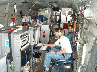
New ozone/aerosol instrumentation will be mounted on the NOAA DeHavilland Twin Otter. The NOAA remote sensing aircraft will be based at Ellington Field and will fly unpressurized at approximately 3-4 km above ground level for missions extending over approximately four to five hours. Relevant operating specifications for the aircraft during the experiment are expected to be as follows:
- Ground speed: 65 m s-1
- Endurance: 4-5 hours
- Range: 550 nm
- Over-water capability
- Capability for multiple flights/day