R/V Ronald H. Brown Daily Summaries
Daily Summary July 23, 2002, DOY = 204
The winds in the study area were from the S through SW for most of the day, with warm temperatures and clear skies. A front passed through late in the afternoon proceeded by a squall line and followed by a switch in wind direction to the west.
The ship moved offshore to the SE in the early morning hours to map the extent of the pollution that entered the Gulf on Monday. Pollution levels were found to be elevated even 40 nm off shore suggesting that atmospheric emissions from sources along the East Coast had impacted a broad area in the coastal ocean. A pollution plume was located in the early morning hours just off the tip of Cape Ann. Elevated levels of SO2, NOy, and CO were found in a relatively narrow plume that spread substantially as the day wore on. Ozone and fine particles levels over this part of the Gulf of Maine grew throughout the day with ozone levels exceeding 125 ppb and particle counts above 20,000 per cc. Ozone levels were reasonably localized and levels were found to be lower by a factor of two just 10 nm east of the center of the plume.
The pollution levels dropped abruptly as the rain squalls heralded the approach of the front.
For all plots, time is indicated in GMT. Eastern time is -5 hours.
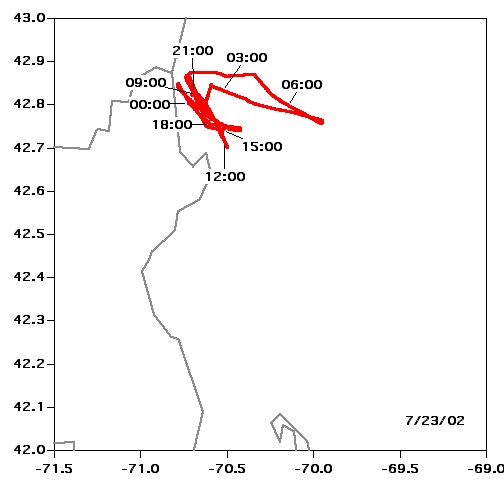 Location |
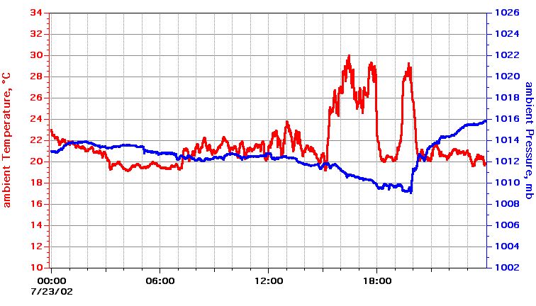 Temperature, Pressure |
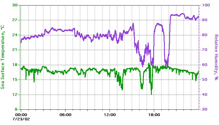 Sea Surface Temperature, Relative Humidity |
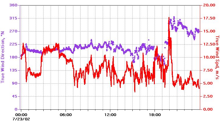 True Wind Speed, Direction |
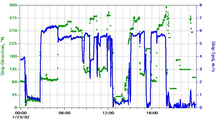 Ship Speed, Direction |
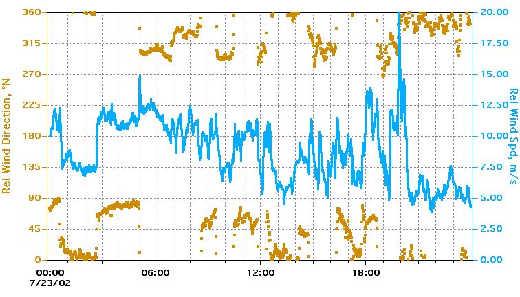 Relative Wind Speed, Direction |
Textual information and data plots are for quicklook and overview purposes only.