Narratives
August 2017
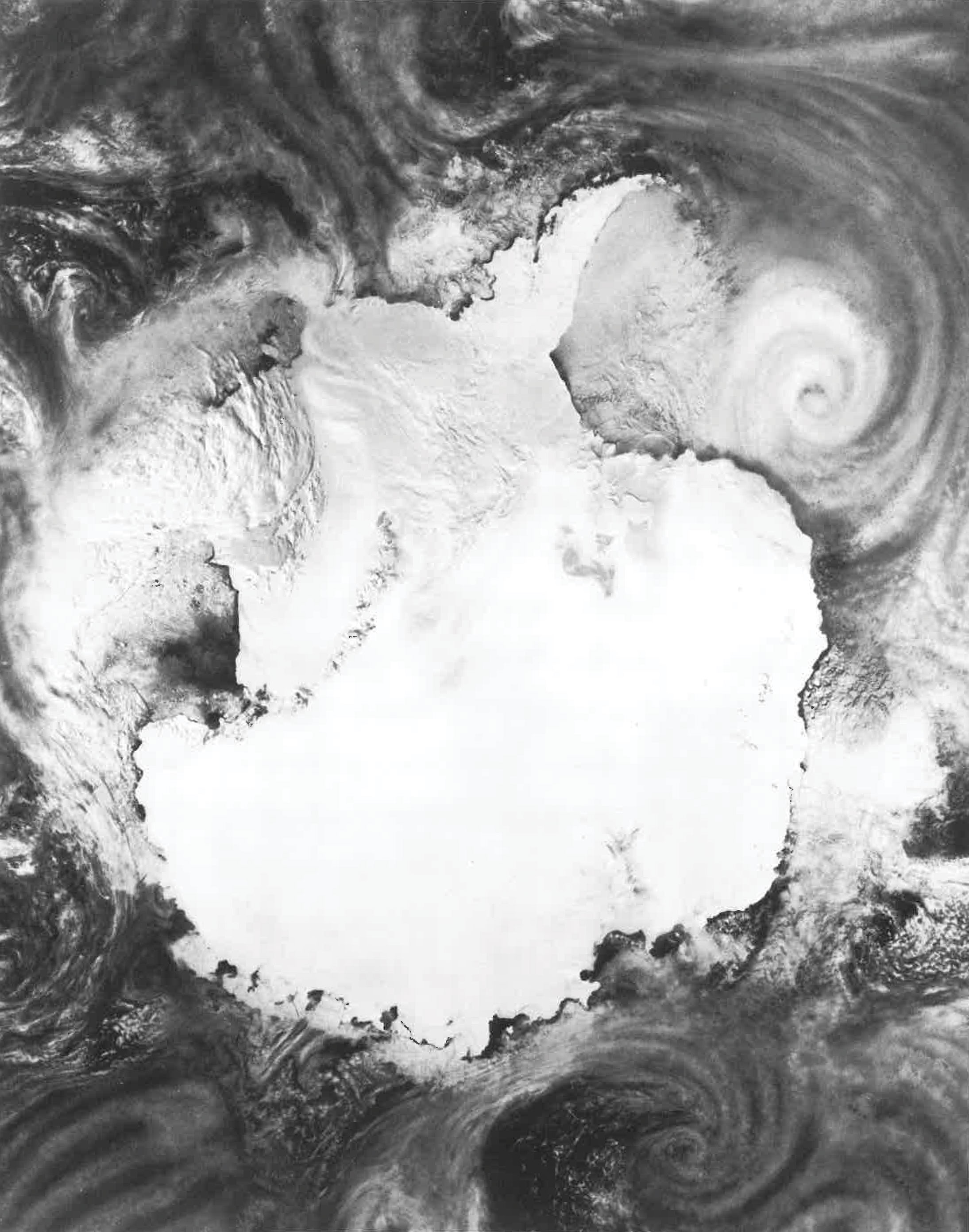
The Airborne Antarctic Ozone Mission began 30 years ago this month with flights from Punta Arenas, Chile, deep over the Antarctic continent. At the time, there were at least three competing theories of the cause of the observed late winter/early spring depletion of stratospheric ozone, called the Antarctic Ozone Hole. AAOE was led by NASA and relied on the NASA ER-2 and NASA DC-8 airborne platforms equipped with a diverse payload of remote and in situ sampling instruments. The mission was a distinct success based on what was learned about the dynamics and chemistry of the polar troposphere and stratosphere. The data and interpretation made clear that the principal cause of the ozone hole was the presence of synthetic gases containing chlorine and bromine in the stratosphere.
What is amazing to many of us is how different airborne field work was at that time. Today the aircraft are still workhorses for NASA but now we have advanced electronic communications and instrument control and data acquisition along with personal cell phones, digital cameras, and the internet.
This webpage is an effort to gather together material to remember this mission and the people, platforms and instruments that made it a success. If you were a participant or collaborator, please consider making a contribution by contacting me or webmaster Cathy Burgdorf Rasco.
Enjoy
Dave Fahey
- Adrian Tuck: The Airborne Antarctic Ozone Experiment 30 years on
- Brian Toon: Looking back on AAOE
- Bruce Gary: Letter from Chile
- Richard Denning: Santiago Conversation
- Peter Salter: AAOE remembered - weather to go
- John Austin: The AAOE legacy from a 30 year theory perspective
- Dan Murphy: A look back at AAOE
- Rudolf Pueschel: Ozone's Dilemma with HNO3-doped Polar Stratospheric Clouds