2018 News & Events
TOAR: Global ozone pollution trends for plants and key crops
11 July 2018
adapted slightly from the story by CIRES Communications
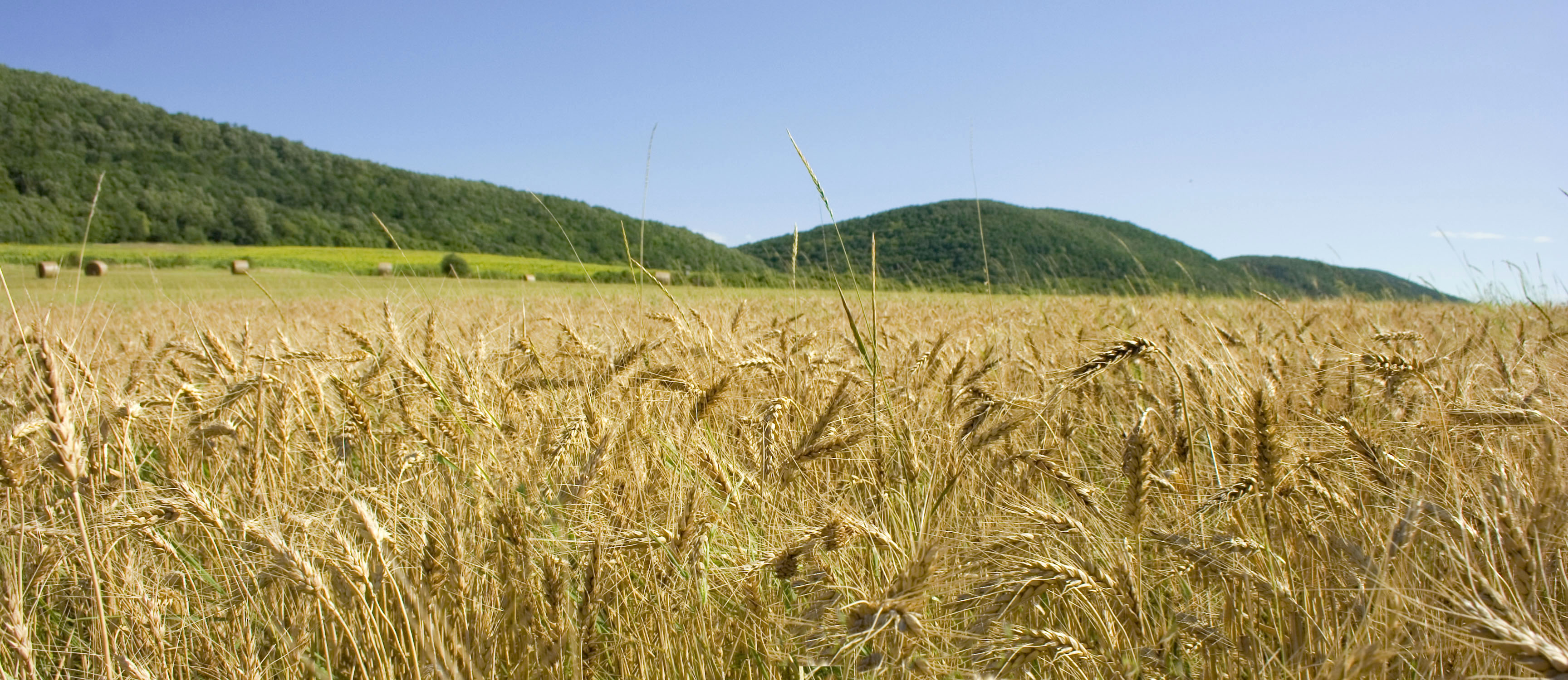
Ozone pollution can harm rice, wheat, and other crops and plants. A new global assessment shows plant-damaging ozone levels declining in North America, stable in Europe, and rising significantly in East Asia. These data will help researchers quantify the loss in yield in staple food crops based on the uptake of the pollutant by the plants' leaves.
"This is the first global view of ozone exposure for vegetation based purely on observations rather than model simulations," said Owen Cooper, a co-author on the current paper, chair of the research project's steering committee, and a CIRES scientist working CSD. "This will help scientists identify where ozone pollution is doing the most damage to agriculture."
The Tropospheric Ozone Assessment Report (TOAR) on the current state of knowledge of ozone metrics of relevance to vegetation (TOAR-Vegetation) study was led by Gina Mills from the NERC Centre for Ecology & Hydrology at the Environment Centre Wales, along with an international team of researchers. It is part of a series of global assessments of ozone pollution, and its relevance to people, plants, and climate. The Tropospheric Ozone Assessment Report (TOAR) is an effort by the International Global Atmospheric Chemistry Project to create the world's most comprehensive database of surface ozone observations from all available ozone monitoring stations around the globe. TOAR-Vegetation analyzes data from the database to determine how much ozone plants are exposed to.

Tropospheric ozone is a greenhouse gas and air pollutant that, at high levels, can harm people's lungs and damage plants. The research team looked at the distribution of surface ozone at more than 3300 sites around the world and long-term trends at nearly 1200 sites for trees and for two of the world's most important staple crops, wheat and rice.
While previous studies have used models of ozone levels to calculate crop reduction, the current study relied entirely on observations to identify the regions of the world with the greatest exposure of vegetation to ozone, focusing on the typical growing seasons for crops and trees.
The researchers quantified widely used metrics of the damage ozone can do to plants and determined whether or not there was exceedance of nationally and internationally agreed thresholds, above which tree growth or crop yield is expected to be reduced. The metrics capture average or cumulative exposure of plants to ozone over their growing seasons. For example, one metric represents the daytime average of ozone over a six month growing season, which is relevant for trees. Other metrics capture accumulated ozone exposure over a typical three month growing season, which is most relevant for crop plants such as wheat and rice. Among the results of this study:
- Today, the highest exposure of vegetation to ozone is in areas where high emissions and climatic conditions together promote ozone formation. These are primarily in the mid-latitudes of the Northern Hemisphere, including the southern United States; southern Europe including parts of Spain, Italy, France, and Greece; northern India; northwest and east China; the Republic of Korea; and Japan.
- The lowest current plant exposure to ozone is in Australia and New Zealand; southern parts of South America; and some northern areas of Europe, Canada, and the United States.
- At the regional level, ozone exposure as measured by all three metrics was significantly higher in the wheat growing regions of East Asia than in Europe. Values in rice growing areas were higher, and not significantly different between North America, Europe, and East Asia.
- The global mean accumulated ozone in wheat growing areas is double the value of a United Nations target for ozone pollution control, meaning that this staple food crop is potentially at risk of yield losses in many parts of the world.
"By bringing together scientists from around the world, we have shown that vegetation in many of our rural areas is exposed to damaging ozone pollution. Further coordinated effort is needed globally to reduce the levels of this damaging pollutant," said lead author Gina Mills.
Mills, G., H. Pleijel, C.S. Malley, B. Sinha, O. Cooper, M. Schultz, H.S. Neufeld, D. Simpson, K. Sharps, Z. Feng, G. Gerosa, H. Harmens, K. Kobayashi, P. Saxena, E. Paoletti, V. Sinha, and X. Xu, Tropospheric Ozone Assessment Report: Present-day tropospheric ozone distribution and trends relevant to vegetation, Elementa: Science of the Anthropocene, doi:10.1525/elementa.302, 2018.
Abstract
This Tropospheric Ozone Assessment Report (TOAR) on the current state of knowledge of ozone metrics of relevance to vegetation (TOAR-Vegetation) reports on present-day global distribution of ozone at over 3300 vegetated sites and the long-term trends at nearly 1200 sites. TOAR-Vegetation focusses on three metrics over vegetation-relevant time-periods across major world climatic zones: M12, the mean ozone during 08:00–19:59; AOT40, the accumulation of hourly mean ozone values over 40 ppb during daylight hours, and W126 with stronger weighting to higher hourly mean values, accumulated during 08:00–19:59.
Although the density of measurement stations is highly variable across regions, in general, the highest ozone values (mean, 2010–14) are in mid-latitudes of the northern hemisphere, including southern USA, the Mediterranean basin, northern India, north, north-west and east China, the Republic of Korea and Japan. The lowest metric values reported are in Australia, New Zealand, southern parts of South America and some northern parts of Europe, Canada and the USA. Regional-scale assessments showed, for example, significantly higher AOT40 and W126 values in East Asia (EAS) than Europe (EUR) in wheat growing areas (p < 0.05), but not in rice growing areas. In NAM, the dominant trend during 1995–2014 was a significant decrease in ozone, whilst in EUR it was no change and in EAS it was a significant increase.
TOAR-Vegetation provides recommendations to facilitate a more complete global assessment of ozone impacts on vegetation in the future, including: an increase in monitoring of ozone and collation of field evidence of the damaging effects on vegetation; an investigation of the effects on peri-urban agriculture and in mountain/upland areas; inclusion of additional pollutant, meteorological and inlet height data in the TOAR dataset; where not already in existence, establishing new region-specific thresholds for vegetation damage and an innovative integration of observations and modelling including stomatal uptake of the pollutant.