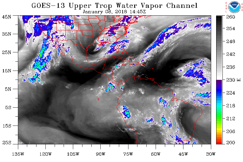
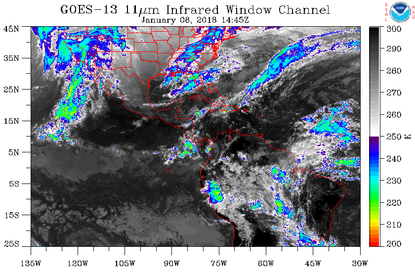
January 8, 2018 update: GOES-East imagery is not updated due to the transition from GOES-13 to GOES-16. We are working to provide GOES-16 imagery when it becomes available.
GOES East Full Disk imagery
GOES West Regional imagery
GOES West Full Disk imagery
Visible
|
|
GOES East Full Disk imagery
GOES West Regional imagery
GOES West Full Disk imagery
Data courtesy of NOAA/ESRL/GSD
Disclaimer! Minimal quality control measures are
taken with the real-time data feeds. As a result,
occasional bad data may contaminate the images. For
this reason, these images are intended for qualitative
analysis only.