Research Handouts
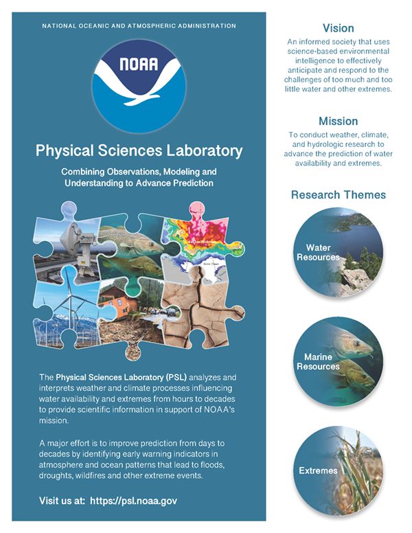
About the Physical Sciences Laboratory
PSL analyzes and interprets weather and climate processes influencing water availability and extremes from hours to decades to provide scientific information in support of NOAA’s mission.
(PDF, 3.3 MB, November 2022)
(PDF, 3.3 MB, November 2022)
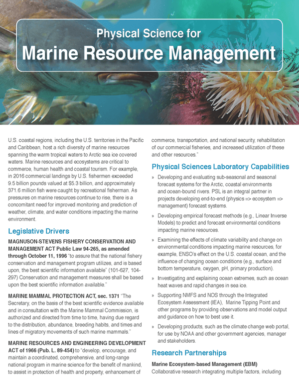
Physical Science for Marine Resource Management
Marine resources and ecosystems are important to a variety of sectors. There is a need for improved monitoring and prediction of weather, climate, and water conditions impacting the marine environment.
(PDF, 1.3 MB, September 2020)
(PDF, 1.3 MB, September 2020)
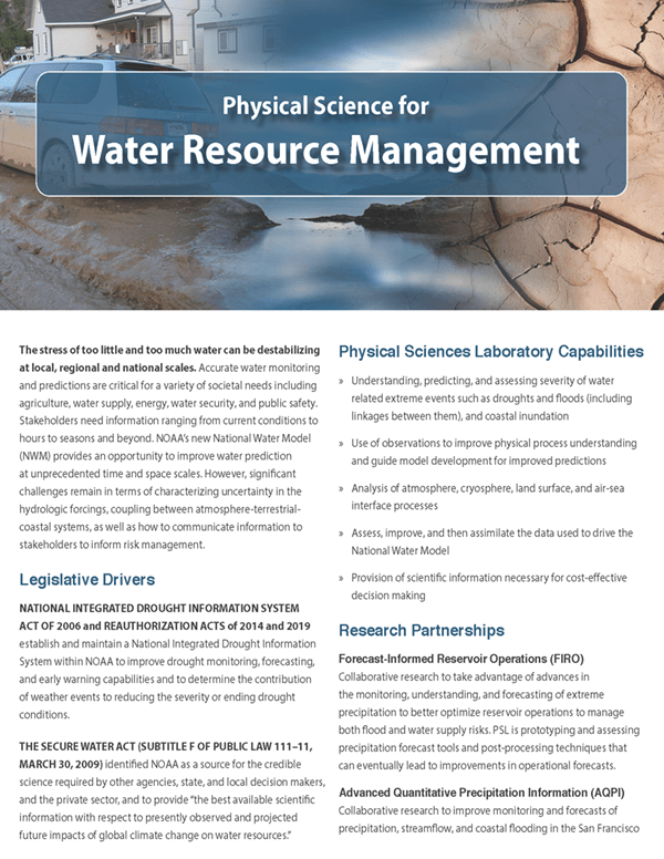
Physical Science for Water Resource Management
The stress of too little and too much water can be destabilizing at local, regional and national scales. Accurate water monitoring and predictions are critical.
(PDF, 1.6 MB, September 2020)
(PDF, 1.6 MB, September 2020)
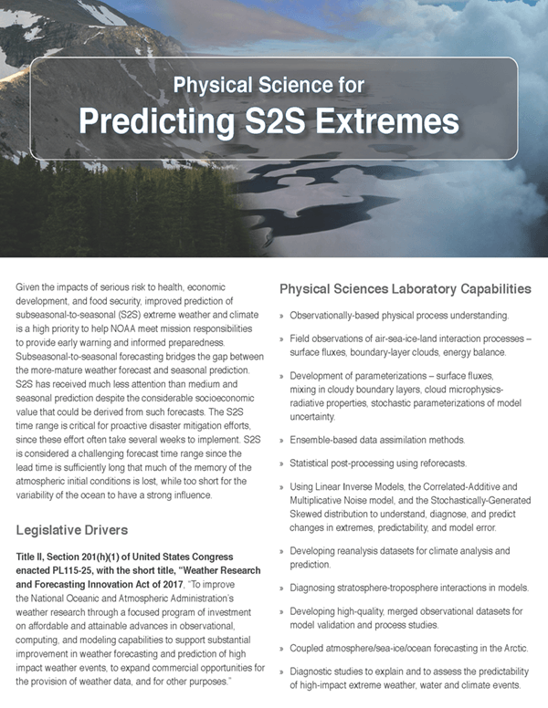
Physical Science for Predicting S2S Extremes
Improved prediction of subseasonal-to-seasonal (S2S) extreme weather and climate is a high priority to help NOAA meet mission responsibilities.
(PDF, 918 KB, September 2020)
(PDF, 918 KB, September 2020)
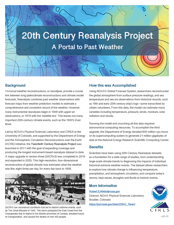
20th Century Reanalysis Project
Historical weather reconstructions, or reanalyses, provide a crucial link between long paleoclimate reconstructions and climate model forecasts.
(PDF, 565 KB, February 2023)
(PDF, 565 KB, February 2023)
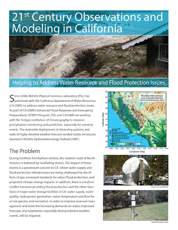
21st Century Observations and Modeling in CA
Since 2008, ESRL has partnered with the California Department of Water Resources to address water resource and flood protection issues.
(PDF, 2.3 MB, May 2021)
(PDF, 2.3 MB, May 2021)
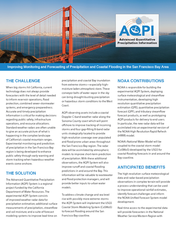
Advanced Quantitative Precipitation Information (AQPI)
Improving monitoring and forecasting of precipitation and cloastal floding in the San Francisco Bay area.
(PDF, 1.6 MB, June 2020)
(PDF, 1.6 MB, June 2020)
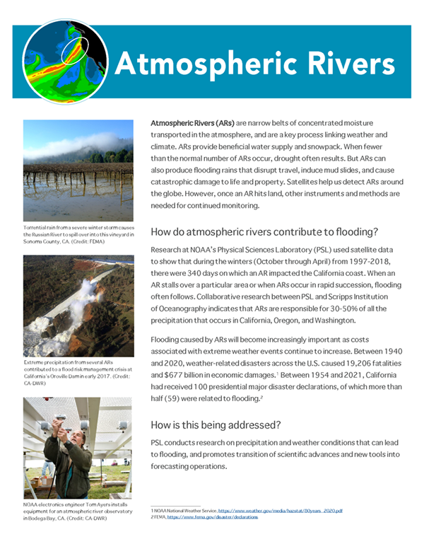
Atmospheric Rivers
Narrow corridors of concentrated moisture transported in the atmosphere are a key process linking weather and climate.
(PDF, 1 MB, January 2023)
(PDF, 1 MB, January 2023)
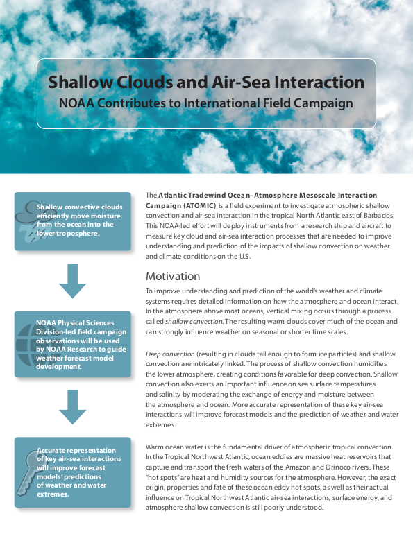
Atlantic Tradewind Ocean–Atmosphere Mesoscale Interaction Campaign (ATOMIC)
A field experiment to investigate atmospheric shallow convection and air-sea interaction in the tropical North Atlantic east of Barbados.
(PDF, 1.2 MB, November 2019)
(PDF, 1.2 MB, November 2019)
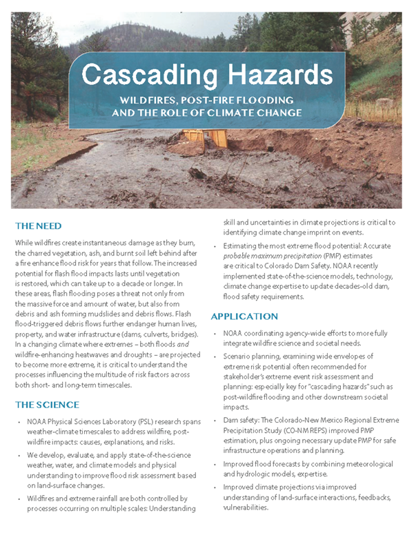
Cascading Hazards
Learn about PSL research to address wildfire, post-wildfire impacts: causes, explanations, and risks.
(PDF, 578 KB)
(PDF, 578 KB)
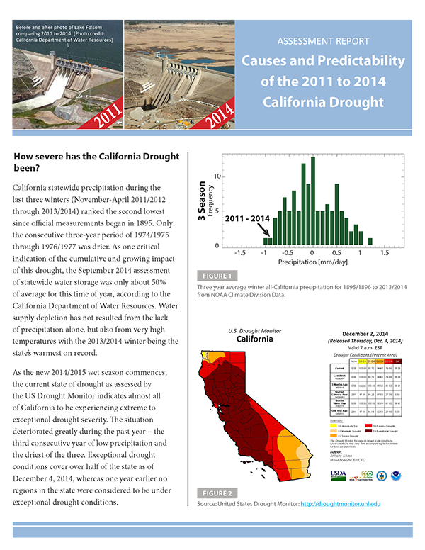
Causes/Predictability of 2011-2014 CA Drought
According to this NOAA-sponsored study, natural oceanic and atmospheric patterns are the primary drivers behind California's ongoing drought.
(PDF, 1.2 MB)
(PDF, 1.2 MB)
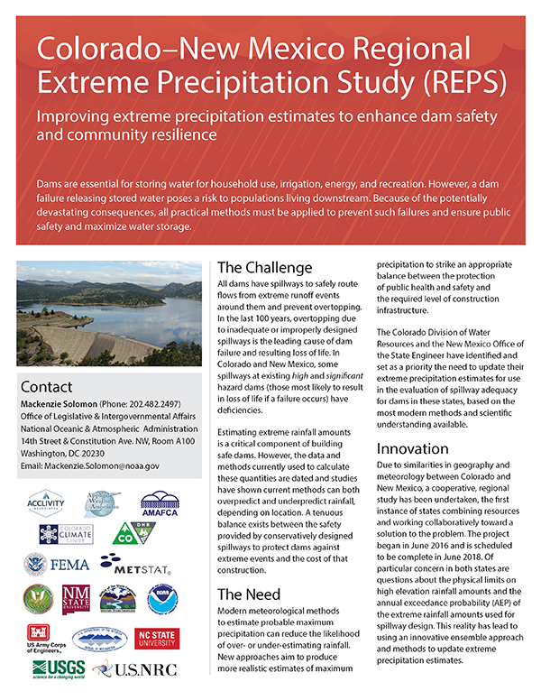
CO—NM Regional Extreme Precipitation Study
Improving extreme precipitation estimates to enhance dam safety and community resilience.
(PDF, 2.7 MB)
(PDF, 2.7 MB)
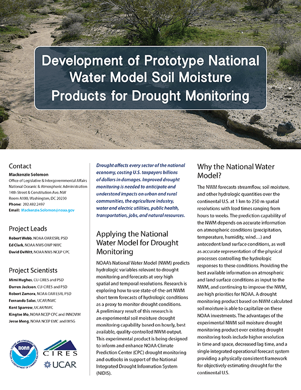
Development of NWM Soil Moisture Products
Prototype products being designed to inform/enhance NOAA drought monitoring and outlooks.
(PDF, 2.1 MB)
(PDF, 2.1 MB)
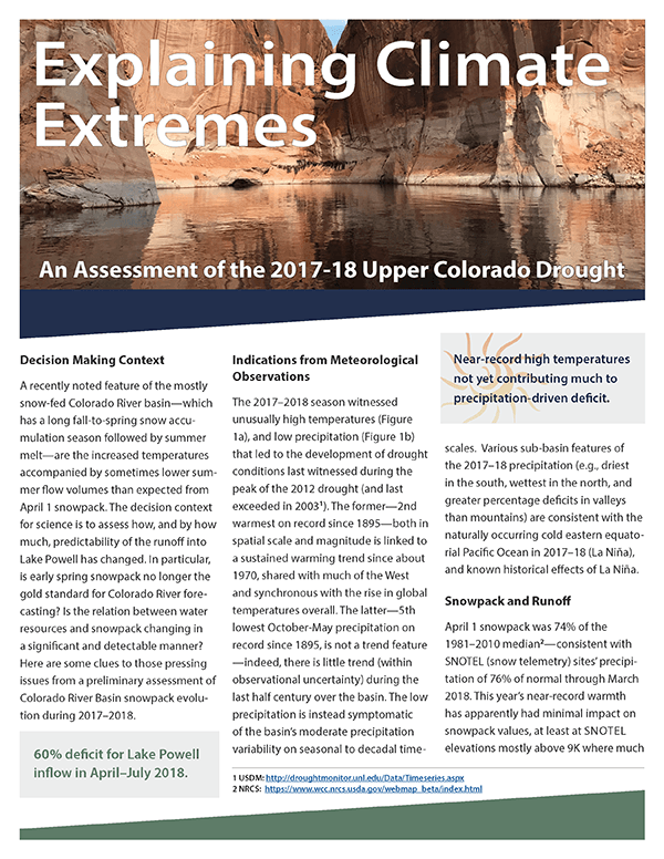
Explaining Climate Extremes of 2017-18 Upper CO Drought
A preliminary assessment of Colorado River Basin snowpack evolution during 2017-18.
(PDF, 1.4 MB)
(PDF, 1.4 MB)
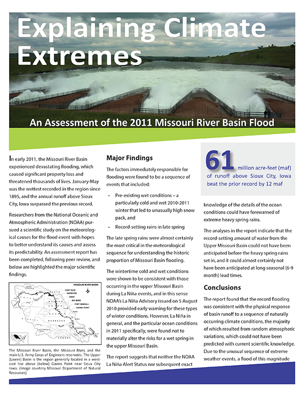
Explaining Climate Extremes of 2011 MRB Flood
A study of meteorological causes for the Missouri River Basin flood event to better understand its causes and predictability.
(PDF, 901 KB)
(PDF, 901 KB)
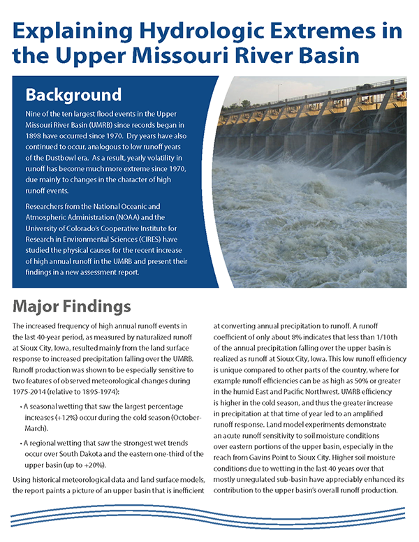
Explaining Hydrologic Extremes in the Upper MRB
Studying the physical causes for the recent increase of high annual runoff in the Upper Missouri River Basin and present their findings in a new assessment report.
(PDF, 566 KB)
(PDF, 566 KB)
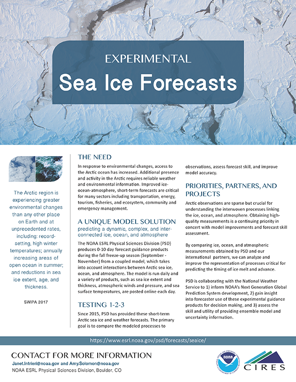
Experimental Sea Ice Forecasts
PSL produces 0-10 day forecast guidance products during the fall freeze-up season (Sep-Nov) from a coupled model.
(PDF, 1.5 MB)
(PDF, 1.5 MB)
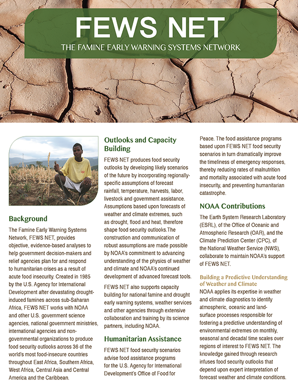
Famine Early Warning Systems Network
FEWS NET works with NOAA and other U.S. government science agencies, national government ministries, international agencies and nongovernmental organizations to produce food security outlooks.
(PDF, 609 KB)
(PDF, 609 KB)
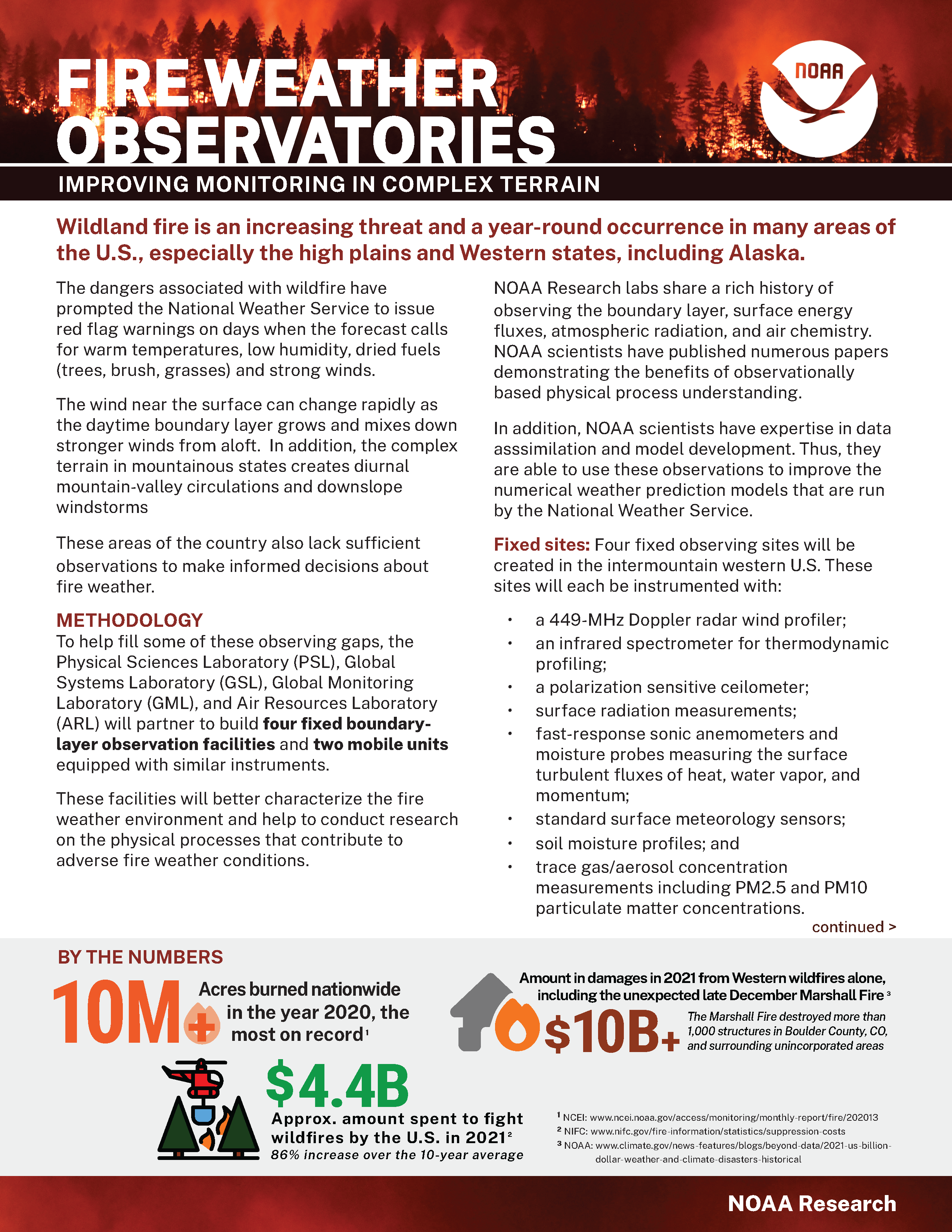
Fire Weather Observatories: Improving Monitoring in Complex Terrain
The Bipartisan Infrastructure Law allocated money for new studies by NOAA Research Labs to improve fire weather observation gaps in complex terrain.
(PDF, 1.8 MB, March 2024)
(PDF, 1.8 MB, March 2024)
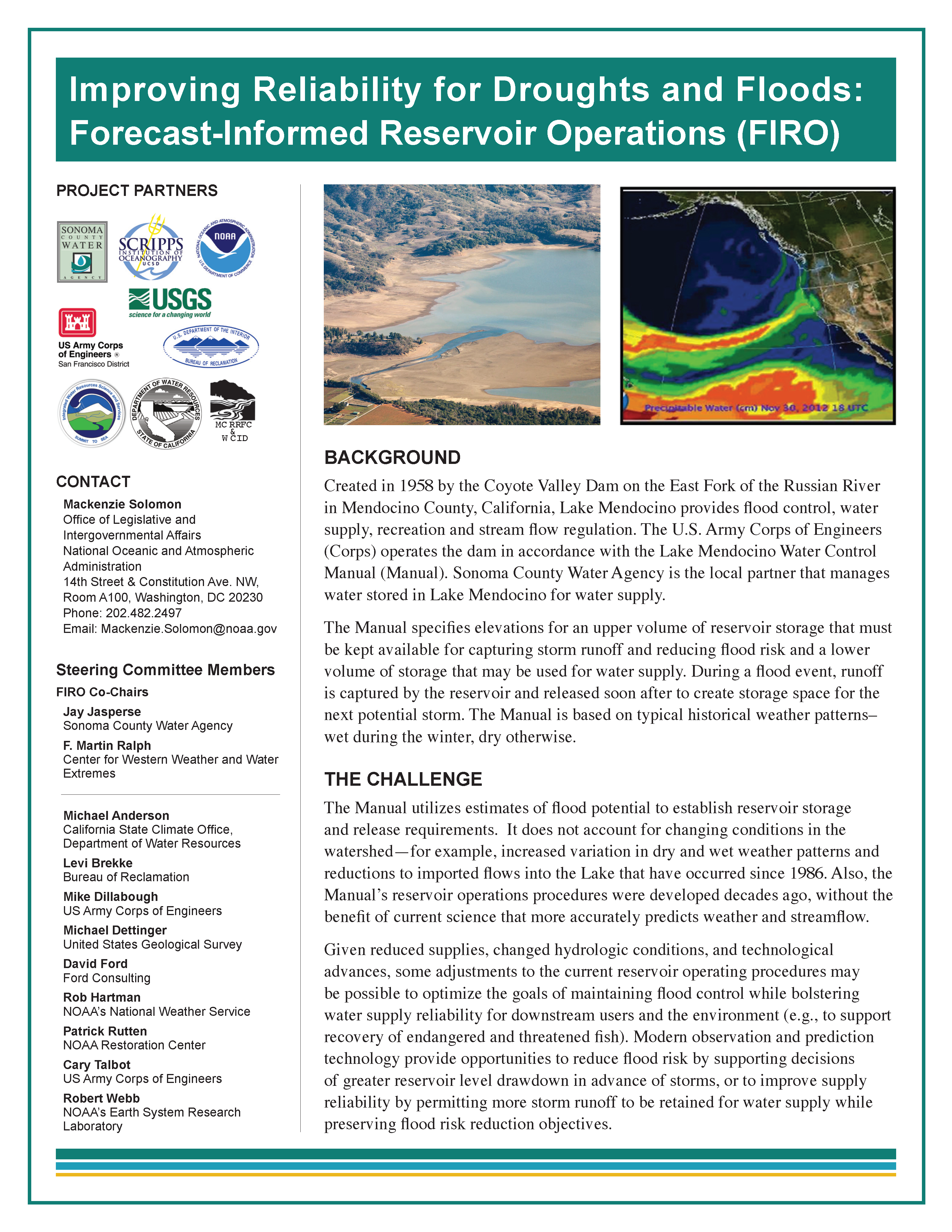
Forecast-Informed Reservoir Operations
FIRO is a management strategy that uses data from watershed monitoring and modern weather and water forecasting to help water managers selectively retain or release water from reservoirs in a manner that reflects current and forecasted conditions.
(PDF, 1.1 MB, July 2019)
(PDF, 1.1 MB, July 2019)
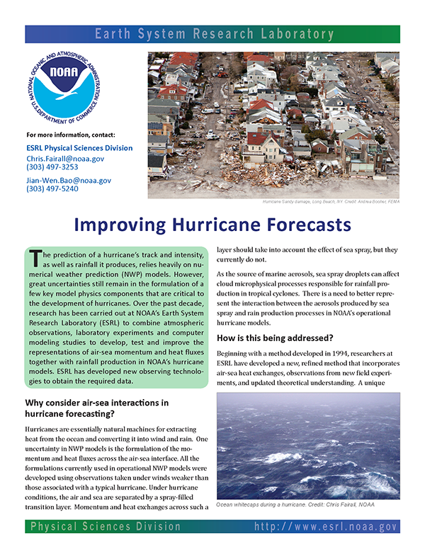
Improving Hurricane Intensity Forecasts
Studies to develop, test and improve measurements of air-sea momentum & heat fluxes to help better predict hurricane track and intensity.
(PDF, 2.1 MB)
(PDF, 2.1 MB)
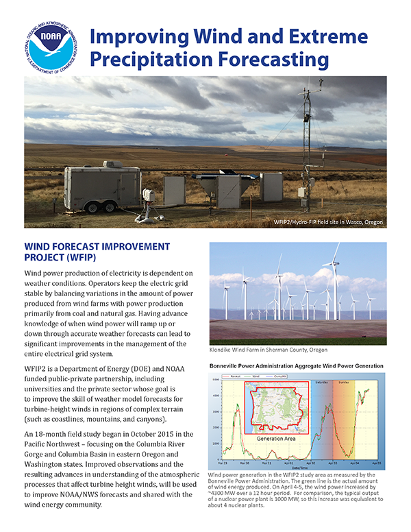
Improving Wind and Extreme Precipitation Forecasting
An overview the Wind Forecast Improvement Project (WFIP) and Hydromet Forecast Improvement Project (Hydro-FIP).
(PDF, 2.3 MB)
(PDF, 2.3 MB)
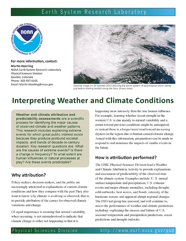
Interpreting Weather and Climate Conditions
Identifying the major sources of observed climate and weather patterns.
(PDF, 1 MB)
(PDF, 1 MB)
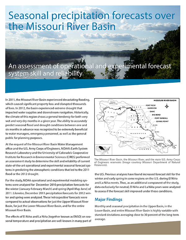
MRB Seasonal Precip Forecasts
An assessment of operational and experimental forecast system skill and reliability in the Missouri River Basin.
(PDF, 901 KB)
(PDF, 901 KB)
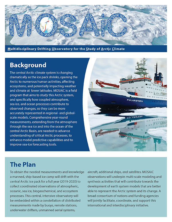
Multidisciplinary Drifting Observatory for the Study of Arctic Climate (MOSAiC)
A ship-based ice camp that will drift for one year with central Arctic ice pack to collect coordinated observations.
(PDF, 1.5 MB, July 2019)
(PDF, 1.5 MB, July 2019)
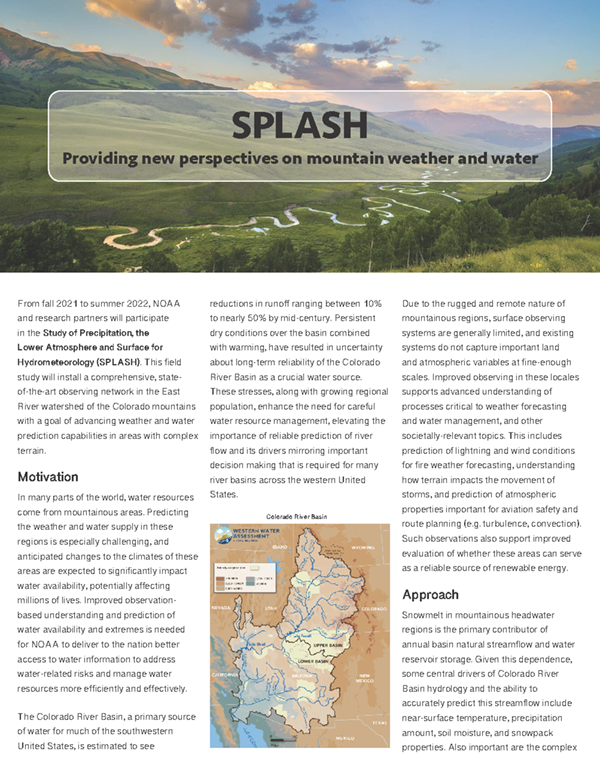
Study of Precipitation, the Lower Atmosphere and Surface for Hydrometeorology (SPLASH)
The goal of this project will be improved prediction of weather and water in the CO mountains and beyond to inform societal preparedness and response.
(PDF, 798 KB, March 2021)
(PDF, 798 KB, March 2021)
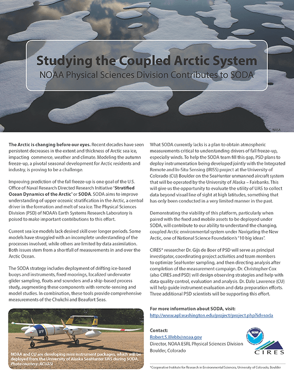
Studying the Coupled Arctic System
PSL contributes to the Stratified Ocean Dynamics of the Arctic (SODA) experiment.
(PDF, 801 KB)
(PDF, 801 KB)
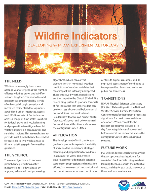
Wildfire Indicators
PSL is contributing to development of 8–14 day experimental forecasts to help stakeholders plan/prepare for wildfires.
(PDF, 759 KB)
(PDF, 759 KB)