Measurements at the Mauna Loa Observatory stopped after the 2022 eruption of the Mauna Loa volcano, when lava flow crossed the access road and took out power lines to the facility. The observatory remains inaccessible by vehicle and without power from the local utility company.
Observatory staff has established limited solar power in four observatory buildings and restored approximately 33 percent of the measurements onsite, including the Global Monitoring Laboratory and Scripps critical CO2 records and other atmospheric measurements.
Media can contact: Theo Stein (303) 819-7409 (theo.stein@noaa.gov) or Karin Vergoth 303-632-6413 (karin.vergoth@noaa.gov)
![]() National Oceanic and Atmospheric Administration (NOAA), Earth System Research Laboratory (ESRL)
National Oceanic and Atmospheric Administration (NOAA), Earth System Research Laboratory (ESRL)
![]() NASA Jet Propulsion Laboratory (JPL)
NASA Jet Propulsion Laboratory (JPL)
![]() Meteorological Service of Canada (MSC) - Atmospheric Environment Services (AES)
Meteorological Service of Canada (MSC) - Atmospheric Environment Services (AES)
Smithsonian Institute on Mauna Kea.
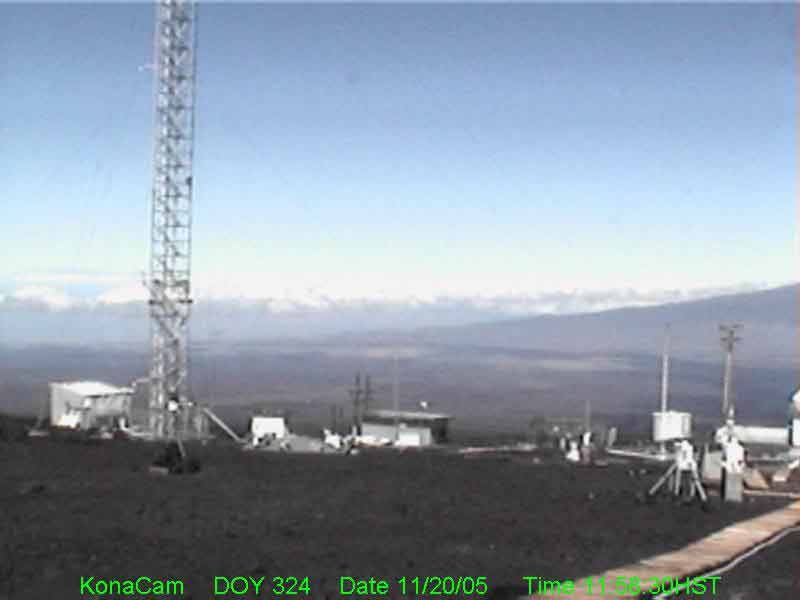
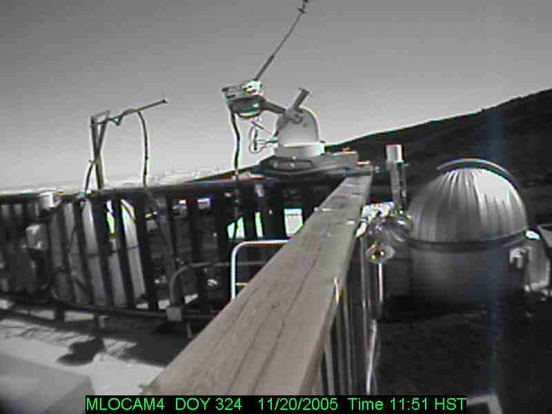
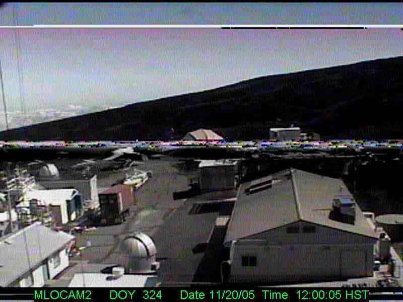
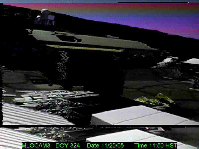
This program takes images of the sky at Mauna Loa observatory and Mauna Kea sites stored in jpg format.
Various types of digital CCD cameras and computers connected on the network. Measurements at MLO are continuous. Images are posted online at the MLO web site and are thus available to the public.
Click here to view Today's Mauna Loa Web Camera page.
To archive images which can be use to aid data analysis which is done later in time.
Not Applicable.
Not Applicable.
Darryl Kuniyuki
808-933-6965 (x236)
Darryl Kuniyuki
808-933-6965
Preston Sato
808-933-6965 (x236)
http://www.mlo.noaa.gov/
LiveCam/Fcam.htm
1996