INSPECT2 2004 Storm Peak Site Map
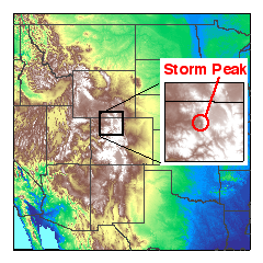
The map shows the general location of the Storm Peak Laboratory ground sampling site near Steamboat Springs, Colorado during the 2004 INSPECT2 project. The small inset shows location and terrain along the Colorado - Wyoming border.
Measurements were made from March 30 to June 15, 2004.
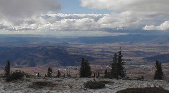
The view to the west from Storm Peak Laboratory, roughly indicating the surrounding vegetation.
For more photos of this project, see the INSPECT2 photo gallery.